
COAST
Districts
Tehsils
Villages
Coastal Area (Ha)
01

About US
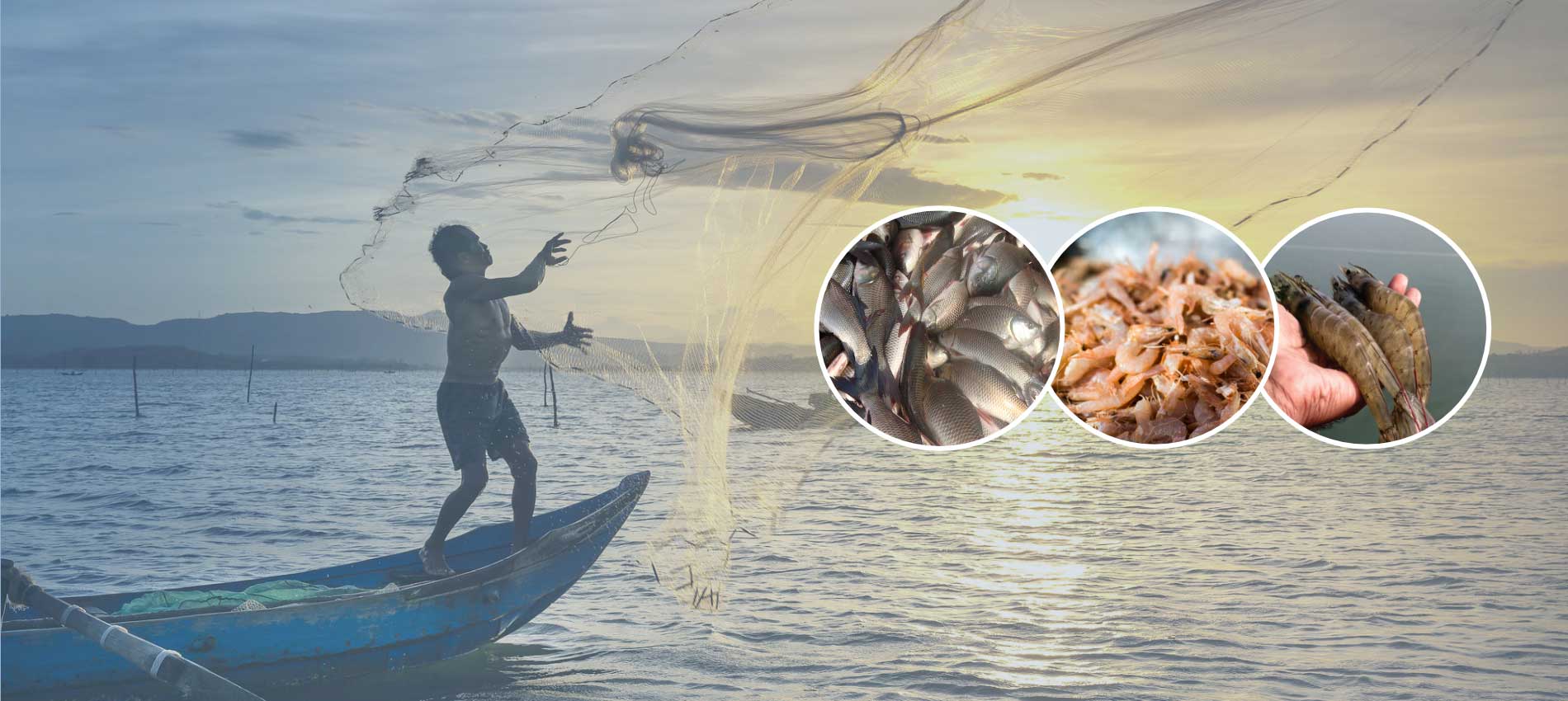
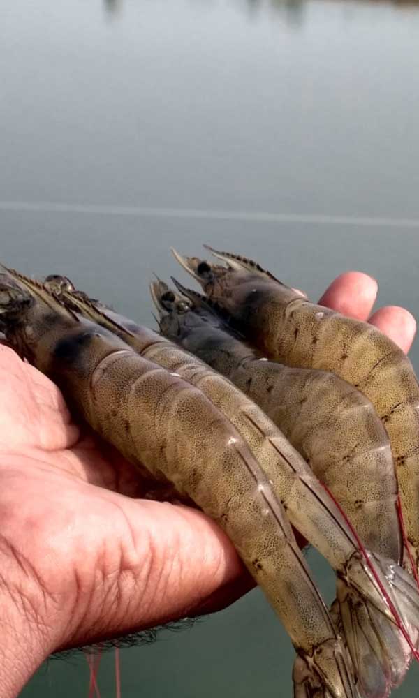
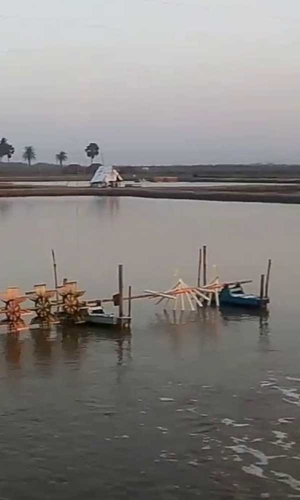
Odisha has an extensive coastline measuring 480kms, bestowed with rich biological diversity, which accounts for 8% of total coastline of India. Shrimp farming is the major brackish water aquaculture in Odisha. Odisha occupies fourth place in brackish water shrimp farming, area wise and third place production wise, among the coastal state of the country. Out of the thirty districts of the state, nine districts namely Ganjam, Khurda, Puri, Jagatsinghpur,Jajpur Kendrapada, Cuttack, Bhadrak and Baleswar, are considered as coastal districts. These districts have high density of population i.e, from 300-500 per square kilometer. The major areas where shrimp culture can be started are the estuaries of the rivers and their lower reaches within the tidal influx and brackish water lakes.
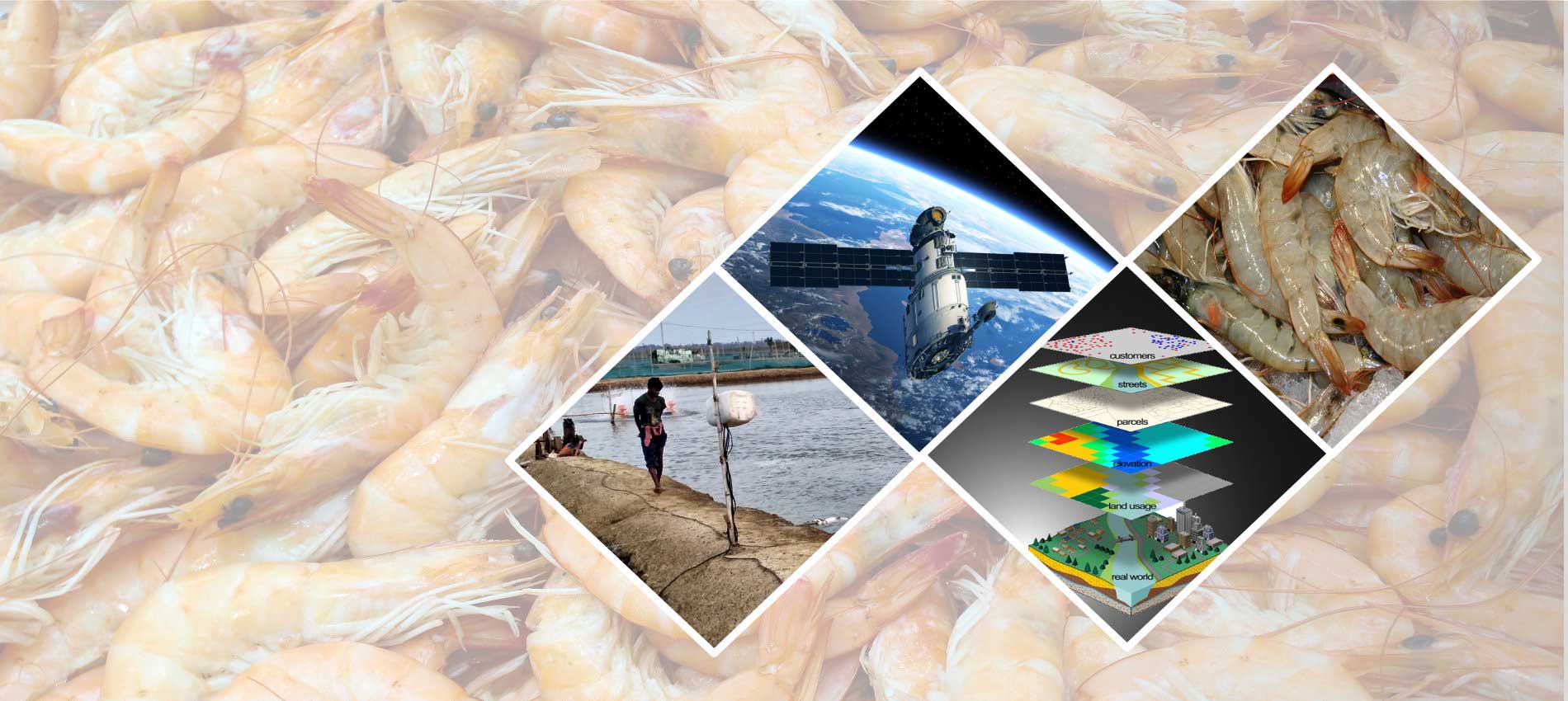
Geospatial Technology has been successfully used in assessing the natural resources and monitoring changes. It is also useful in providing timely and complete information on the spatial coverage of the study area and complementing field surveys of higher information contents. High-resolution Remote Sensing data and Geographic Information System (GIS) help in integrating multi-parameter spatial information for generating locale-specific plan. Application in aquaculture is fruitfully demonstrated by different organizations successfully.
Based on above experience and expertise a Geo-ICT based application web portal called Coastal Aquaculture Information System (COAST)has been undertaken by Odisha Space Applications Centre (ORSAC), Bhubaneswar with the help of Fisheries Department, Government of Odisha, India.
The website contains thematic information on occurrence on aquaculture ponds (interpreted from Satellite data), information on Coastal area (As per Coastal Aquaculture Authority), Coastal Regulation Zone, High Tide Line (HTL), CRZ categories, CZMP maps, Ecologically Sensitive Area (ESA), availability of Government land at Cadastral levels. Information on Registered farm (as provided by the Fisheries Dept.) are also incorporated. Ancillary data such as Ports, Harbour, Jetties, Fish Landing Centre, Light house, Multiple Cyclone Centre have also been provided. Information from the Geospatial data base can be obtained on various aspects of aquaculture activities by putting different queries.
02
Frequently Asked Questions
The Coastal Aquaculture authority (CAA) was established under the Coastal Aquaculture Authority Act, 2005 and notified vide Gazette Notification dated 22nd December, 2005. The main objective of the Authority is to regulate coastal aquaculture activities in coastal areas in order to endure sustainable development without causing damage to the coastal environment. The Authority is empowered to make regulations for the construction and operation of aquaculture farms in coastal areas, inspection of farms to ascertain their environmental impact, registration of aquaculture farms, fixing standards for inputs and effluents, removal or demolition of coastal aquaculture farms, which cause pollution etc. go to link
The CRZ area and the classification shown on the website are as per the CRZ Notification 2011.After approval of the CZMP maps prepared according to the CRZ Notification 2019,the updated maps prepared according to the CRZ Notification 2019,updated maps will be uploaded
Coastal Regulation Zones (CRZ) are the areas along the 7,500 km-long coastal stretch of India. Development of buildings, tourism infrastructure and other facilities is regulated in these areas by the Government of India.
Coastal Stretches of creeks, bays, seas, rivers and backwaters that are affected by the tidal actions of up to 500 metres from the High Tide Line and the land between the Low Tide Line and the High Tide line are Coastal Regulation Zones (CRZ). A notification was issued in February 1991, under the Environment Protection Act, 1986 for the regulation of coastal area activities by the Ministry of Environment and Forests (MoEF). This was when the Government of India notified Coastal Regulation Zones (CRZ) for the first time. As per the notification, coastal areas have been classified into four categories as CRZ-1, CRZ-2, CRZ-3 and CRZ-4.
The coastal zone includes the area between high tide line (HTL) and low tide line(LTL), up to 10 nautical miles towards the seaside from HTL and up to 20 km from HTL towards the land side. The accurate demarcation of shoreline is very important for planning purposes. The prime requisite of coastal regulation zone plan chart is basically to manage coastal and coastal zone features for sustainable use by demarcating high and low tide line on chart with the help of hydrographic surveys.
1. Demarcation of high tide line
High tide line (HTL) in the coastal regulation zone
notification is defined as line up to which highest high
tide reaches in spring tides. It is delineated by walking
over or remote sensing data or by helicopter survey.
2. Demarcation of low tide line
The low tide line is the limit up to which the lowest low
tide recedes during spring tide. This line would be
arrived at by making a bathymetric chart of the coastal
area with the datum of chart being the lowest low tide.
03
Contact Details
Any Fisheries Data Related Query :
Fisheries and Animal Resources Development Department , Odisha Secretariat, Sachivalaya Marg, Bhubaneswar
(+91) 674-2536985,2322960
(+91) 674-2390681
Any Website Related Query :
ODISHA SPACE APPLICATIONS CENTRE (ORSAC)
(+91) 674-2303625/3293545
(+91) 674-2300681